

Run
Runners
Find new routes, track pace and chase personal records.
Discover trails, plan adventures, navigate offline and track every journey — from morning runs in the valley to multi-day Himalayan treks.
Trailma brings Nepal's outdoors into a single platform — for hikers, trekkers, runners and cyclists. Not just a map. A companion for the whole journey.
Find day hikes, hidden trails, running routes and great treks across every region of Nepal.
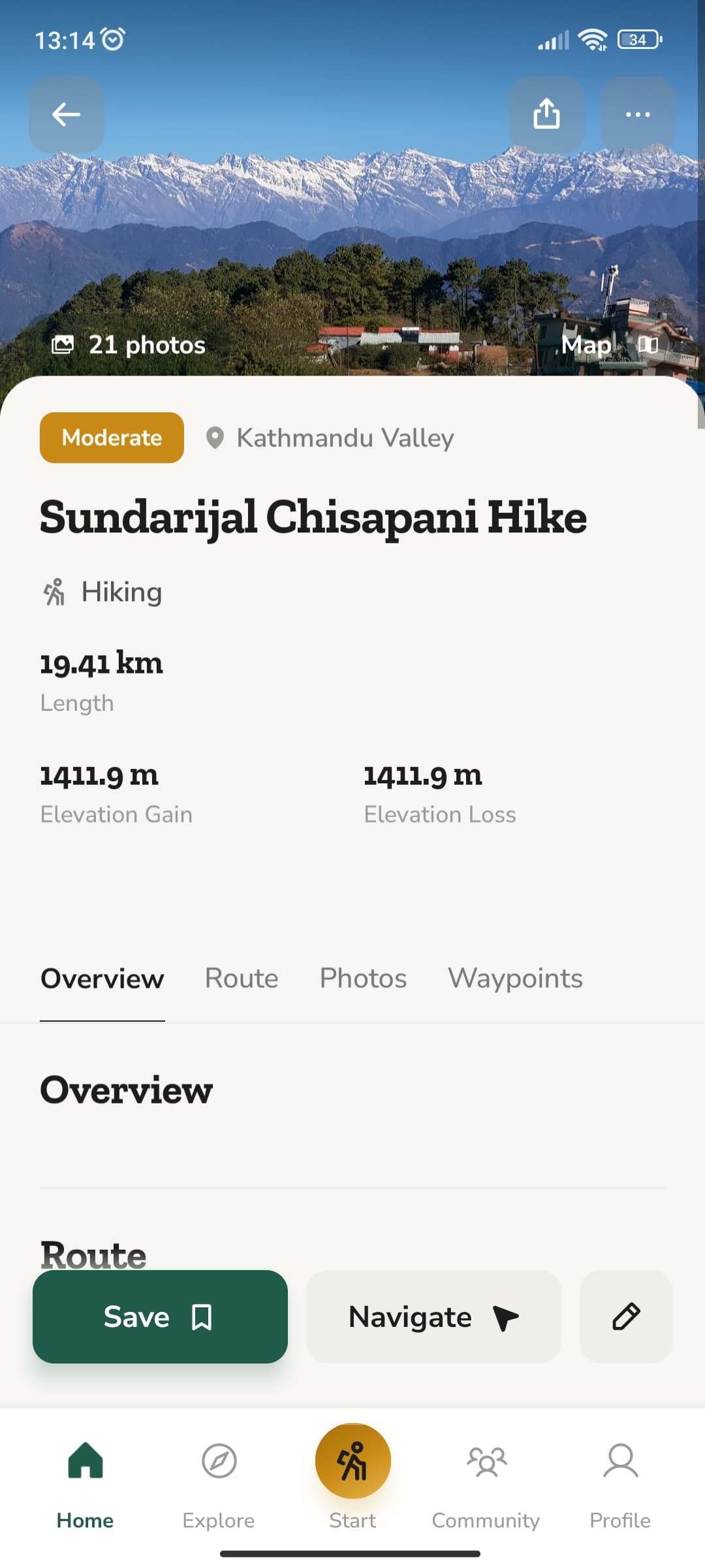
Understand distance, elevation, stages and what to expect before you take the first step.
Follow your route with confidence — even far beyond mobile signal in the high Himalaya.
Track every adventure and build a personal record of everywhere your feet have taken you.
Screen 1 of 3: Trails near you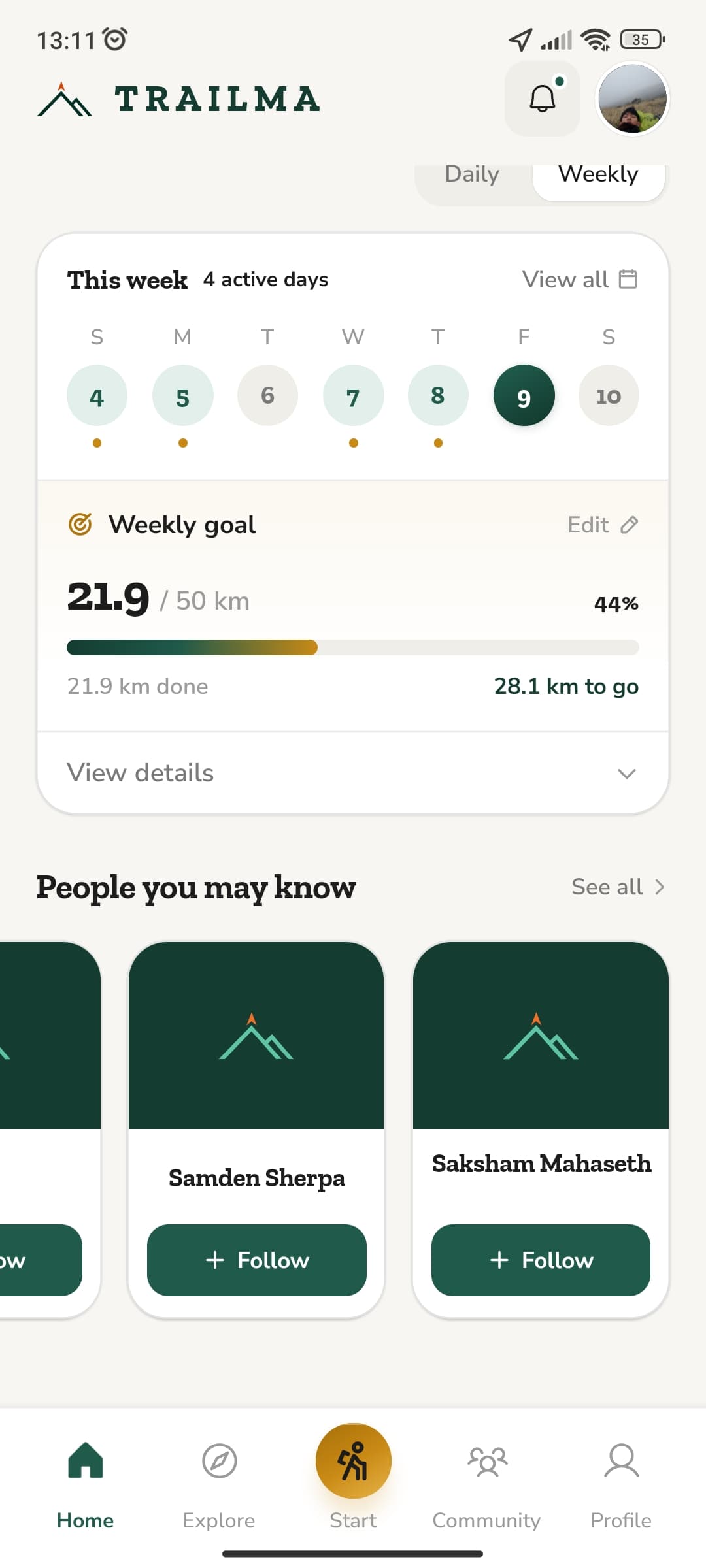 Screen 2 of 3: Weekly goals
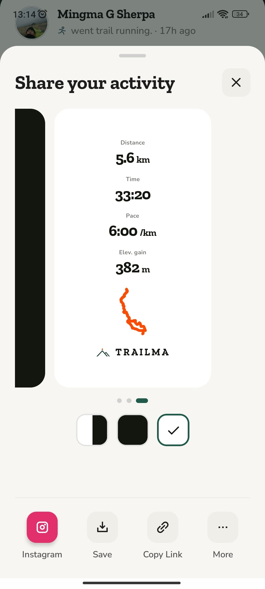 Screen 3 of 3: Share your activity
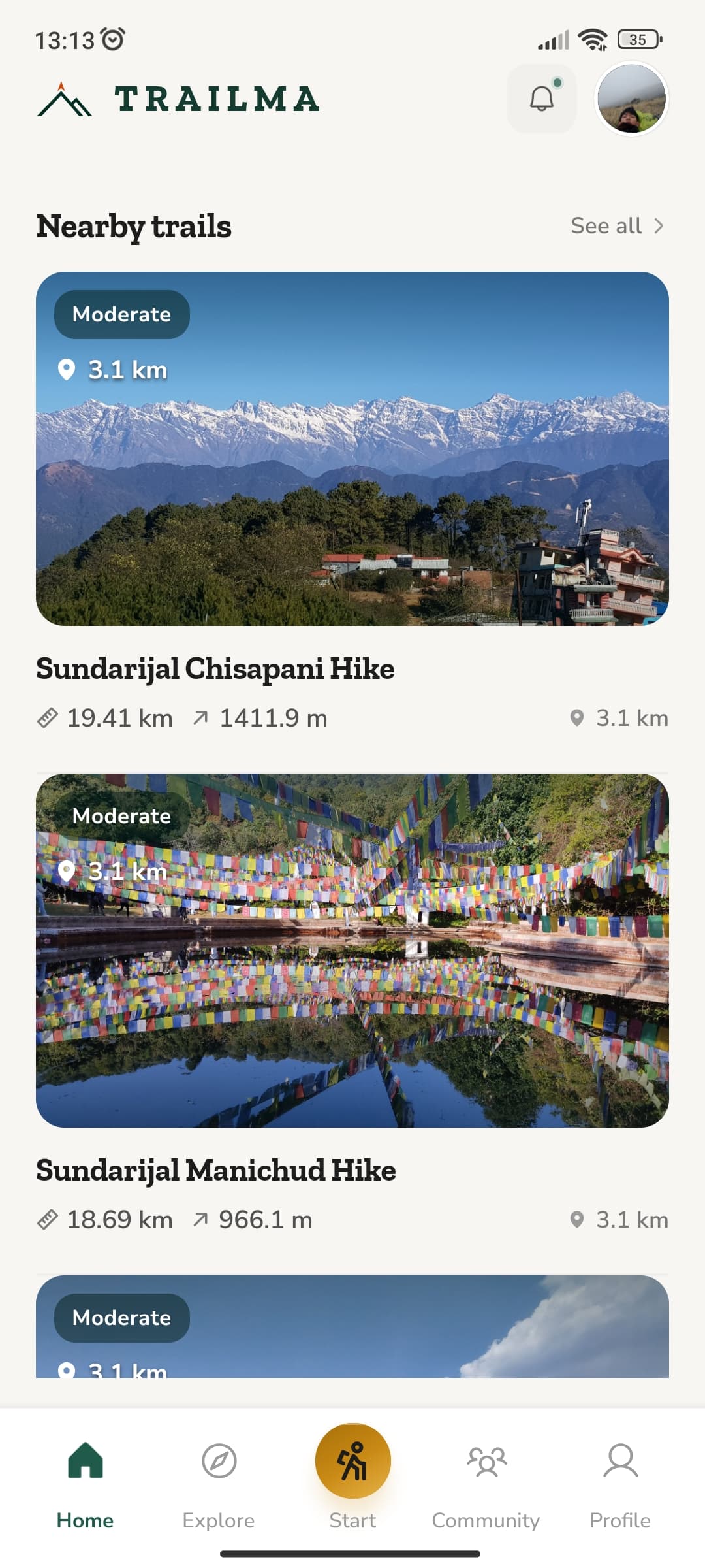
Home lists the trails closest to you with difficulty, length, ascent and how far away the trailhead is.
Set a weekly distance goal and see your active days, the kilometres done and what is left to go.
Turn any hike or run into a card with distance, time, pace, elevation gain and your route line — ready for a story or a link.
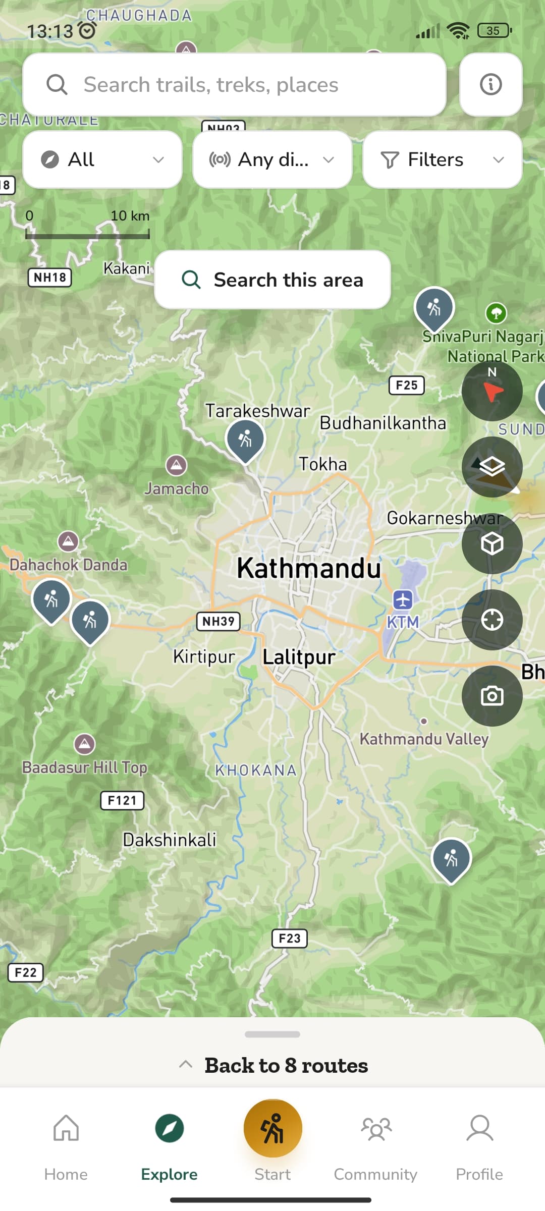
Every route in Trailma sits on a terrain map with forests, ridges, rivers, villages and trailheads — drawn for walking rather than driving.
Search trails, treks and places, filter by activity and distance, then tap Search this area to load every route around you. Layers, 3D terrain, compass and your location sit one tap away on the map.
Record your own hikes and runs to add to the map, and help the next person find the way.
Read the reviews, photos, conditions and stats, then plan your route on trailma.com. Everything you save on the web is waiting in the app when you reach the trailhead.
Click the map to drop waypoints. Trailma snaps the line to mapped trails and builds the elevation profile as you go.
Split a long route into stages, mark teahouses and acclimatisation days, and check the permits for every area you cross.
Send a link or embed the route on your own site. Friends open it on the web or straight in the app.

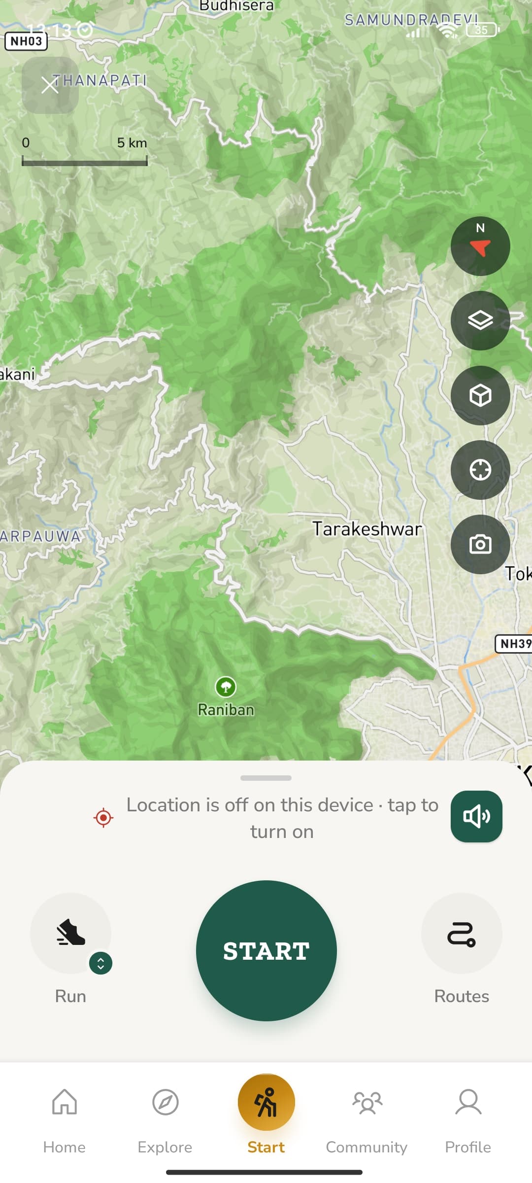
Pick Run or Hike, choose a route and press Start. Trailma records every step and keeps a log of your days on the trail, with or without signal.
Your position comes from the phone's GPS, not the mobile network, so it keeps working deep in a valley with no signal.
Choose Run or Hike and tap Start. Trailma draws your track as you move — distance, pace, time and ascent updating live — then saves it to your activity log.
Load a trail before you start and follow its line on the map as you go.
Compass, map layers, 3D terrain, re-centre and a camera for trail photos sit along the edge of the map.
Turn on audio to hear your distance and pace without taking the phone out of your pocket.
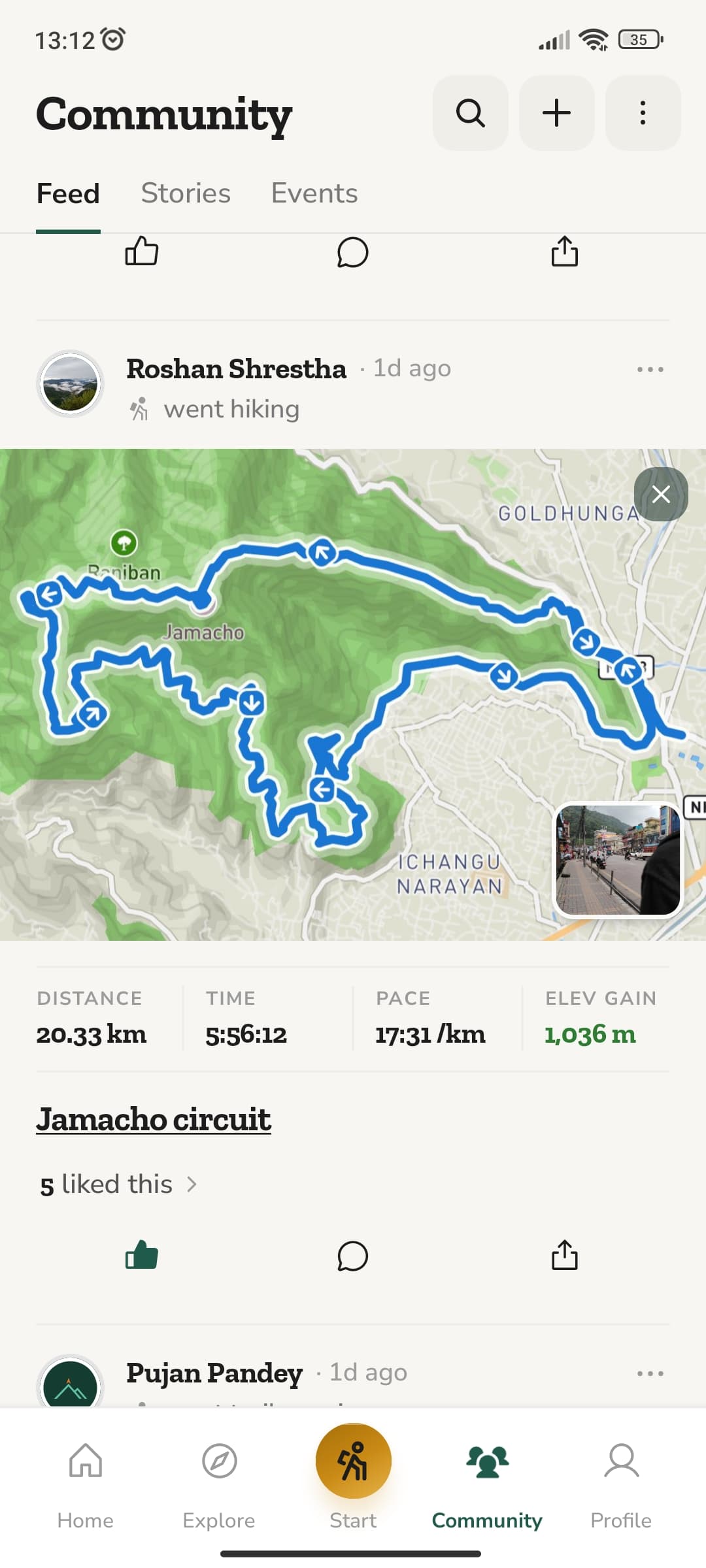
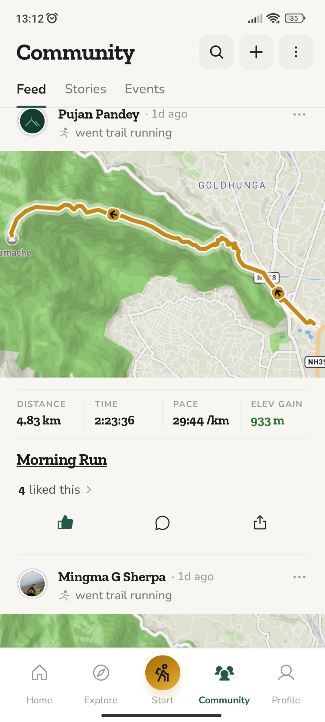
See where your friends hiked and ran this week, with their route on the map and the numbers that matter.
Every activity posts with its route map, distance, time, pace and elevation gain. Like, comment and share from the card.
Short updates and photos from the trail, plus group hikes, races and cleanups you can join.
Follow hikers and runners near you and see their activities in your feed.
If you like going outside, Trailma is for you.
Find new routes, track pace and chase personal records.

Day hikes, forest walks and viewpoints — all around you.

Plan multi-day journeys stage by stage, from Langtang to Everest.

Scenic road rides and rough backroads, mapped and ready.

Free for iOS and Android. Discover trails, navigate offline and build your record of Nepal's outdoors — all in your pocket.


Kathmandu, Nepal · Built for the trails of Nepal
Trailma is an outdoor platform built specifically for Nepal. It helps you discover trails, plan adventures, navigate routes, track activities and connect with Nepal's outdoor community.

Take Trailma with you — free for iOS and Android.


